When you click on links to various merchants on this site and make a purchase, this can result in this site earning a commission. Affiliate programs and affiliations include, but are not limited to, the eBay Partner Network.
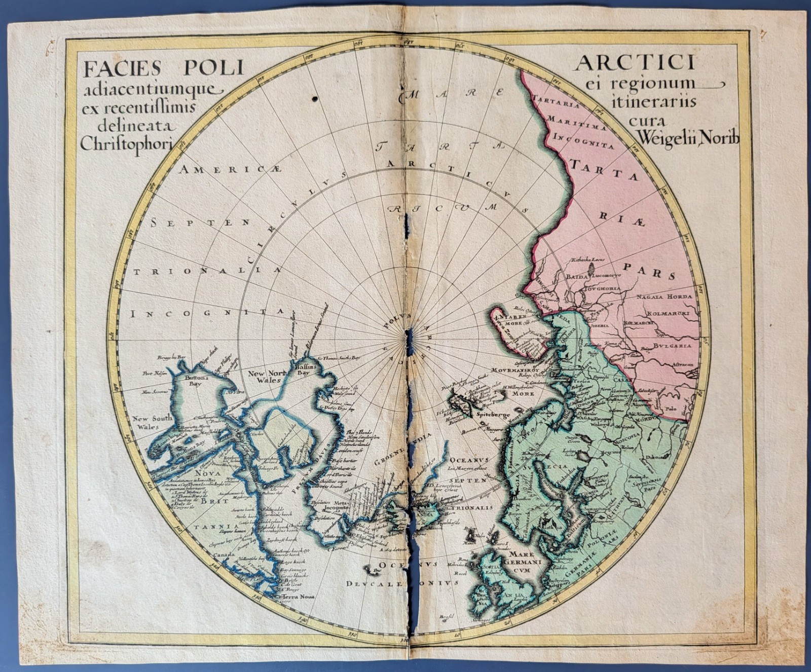
Original 1718 copper-engraved polar projection by Christoph (Johann Christoph) Weigel, titled Facies Poli Arctici. The circular sheet spans the Arctic with Scandinavia, Russia, Greenland and northern North America shown in early form. Hand-colored coastlines trace Spitzbergen, Nova Zembla, Iceland, Greenland, Davis & Baffin Bays, and the Canadian Arctic. Of special interest are the speculative Northwest Passage channels, the large inland sea in far northern America (New North Wales), and the incomplete Siberian coast marked “Tartaria Maritima Incognita”—all reflecting contemporary discoveries and uncertainties.
Weigel (1654–1725) was a leading Nuremberg engraver-publisher; his compact atlases are prized for crisp engraving and attractive color, issued as the Bequemer Schul- und Reisen-Atlas (Atlas scholasticus et itinerarius).
Condition: vertical centerfold as issued; separation with paper loss from removal out of the original binding producing voids along the fold (see photos). Light toning and minor handling; strong impression and appealing original color.
[D1]