When you click on links to various merchants on this site and make a purchase, this can result in this site earning a commission. Affiliate programs and affiliations include, but are not limited to, the eBay Partner Network.
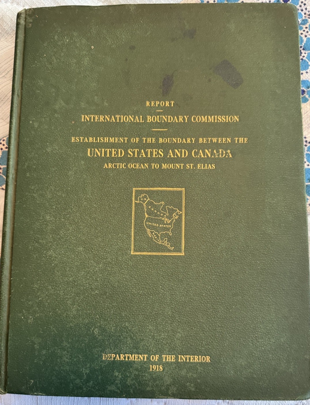
Explore the historical boundaries between the United States and Canada with the "Report of the International Boundary Commission 1918." This hardcover publication from the Department of the Interior provides a detailed account of the Alaska/Yukon region, complete with two foldout maps and six large panorama photographs that offer a unique visual glimpse into the area at the time.
Published in 1918 by the United States International Boundary Commission, this original report is a treasure trove for historians and collectors alike. It delves into the subject of geographical boundaries and regional history, all while being a testament to the period's English-language publishing. A must-have for anyone interested in the historical development of North American borders.
The hardcover is good tight and complete. The interior pages are clean. This is not an ex library copy. The book contains 2 fold out maps still attached . There are 6 large panorama photographs of which 3 are complete and attached while the other 3 are still complete but are not attached. Each of the unattached photos has splits along the folds but all three are still present with the book