When you click on links to various merchants on this site and make a purchase, this can result in this site earning a commission. Affiliate programs and affiliations include, but are not limited to, the eBay Partner Network.
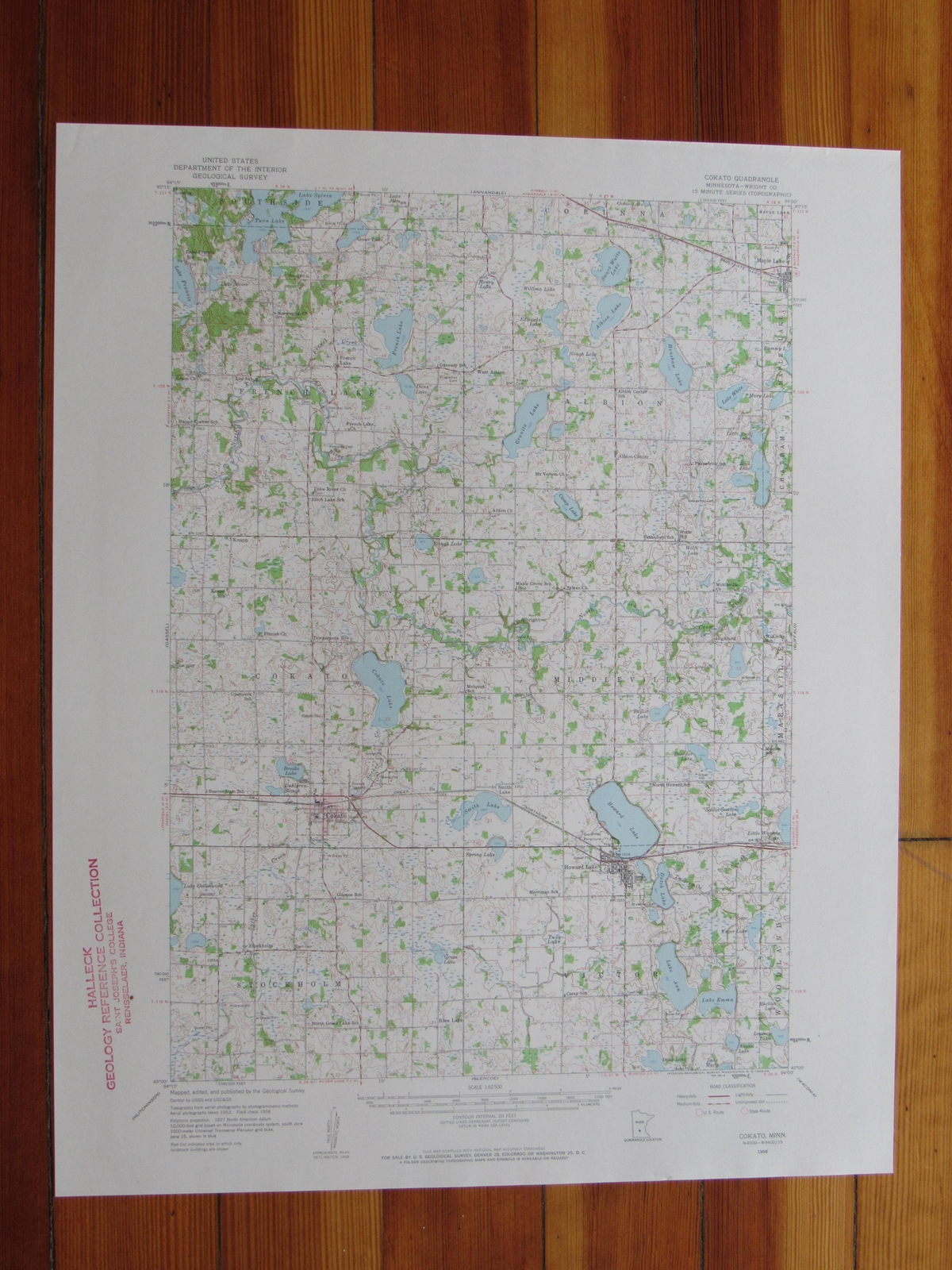
Cokato Quadrangle Minnesota- 15 Minute Series Published by the United States Geological Survey Year Published: 1959 Edition Year: 1958 Places: Cokato, Howard Lake, Maple Lake Water Bodies: Beaver Dam Lake, Camp Lake, Cedar Lake, Cokato Lake, Collinwood Lake, Dans Lake, Doerfler Lake, Granite Lake, Howard Lake, John, Lake, Junkins Lake, Lake Francis, Lake Sylvia, Little Waverly Lake, Long Lake, Mary Lake, Mary, Lake, Maxim Lake, Milky Lake, Mud Lake, North Fork Crow River, Ramsey Lake, Slough Lake, Taylor Lake, Twelvemile Creek, Twin Lake, White, Lake, Yager Lake
Map may have red institutional rubber stamp and/or writing in the margin - please see the photograph. The map in the photo is the actual map you will receive. Map sheet measures approximately 17 X 21 inches.
All maps we sell are original USGS topographic maps, printed in the year stated in the title. We do not sell reproductions. Maps are shipped rolled up in a sturdy tube.
[8521]