When you click on links to various merchants on this site and make a purchase, this can result in this site earning a commission. Affiliate programs and affiliations include, but are not limited to, the eBay Partner Network.
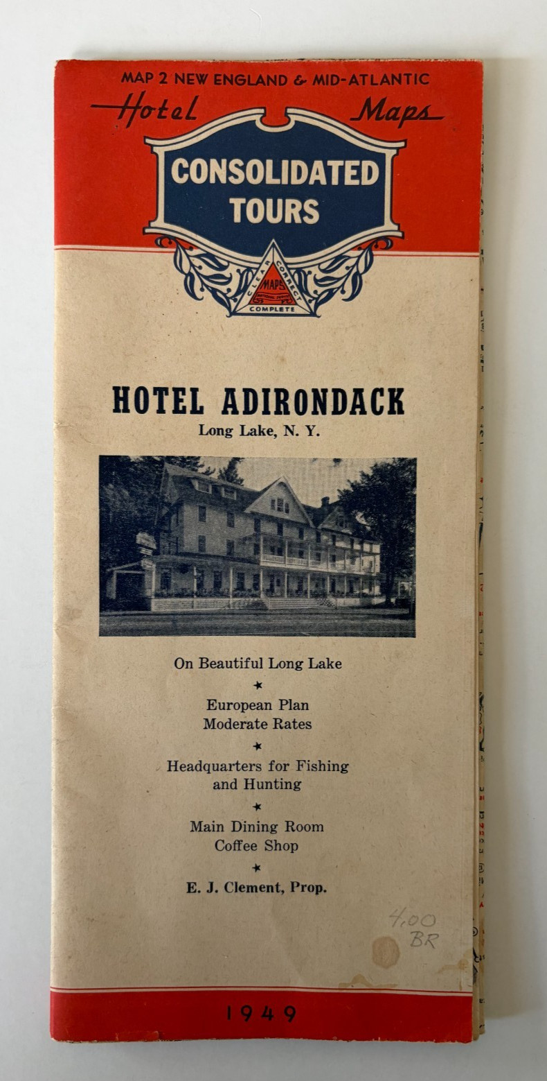
A 1949 Consolidated Tours Hotel Map, Map 2 New England & Mid-Atlantic, published by The National Survey Co. of Chester, Vermont. This copy was issued with the imprint of the Hotel Adirondack, Long Lake, New York, E. J. Clement, Proprietor. The front panel has a photo of the hotel with its long porches and advertises it as \"On Beautiful Long Lake,\" with European Plan moderate rates, headquarters for fishing and hunting, and a main dining room and coffee shop.
The large two-sided road map is printed in red and blue, with recommended tourist hotels marked in red throughout. One side covers New England, including Quebec and the Lake Champlain and Adirondack regions. The other side covers New York, Pennsylvania, New Jersey, Maryland, Delaware, Virginia, and southern Ontario.
Illustrated advertising panels include the Lake Champlain Bridge, 1000 Islands Bridge, Roosevelt Bridge, Whiteface Mountain Memorial Highway, Fort Ticonderoga, Ausable Chasm, Howe Caverns, Rainbow Bridge, Peace Bridge, Ward\'s Deluxe Tours of the 1000 Islands, Cape Vincent, the Newburgh-Beacon Ferry, Washington Irving\'s Sleepy Hollow and the Tarrytowns, the Steel Pier at Atlantic City, the Chester-Bridgeport Ferry, the Mount Washington Cog Railway, Polar Caves, White Mountain Glacial Park, and the Jamestown Bridge.