When you click on links to various merchants on this site and make a purchase, this can result in this site earning a commission. Affiliate programs and affiliations include, but are not limited to, the eBay Partner Network.
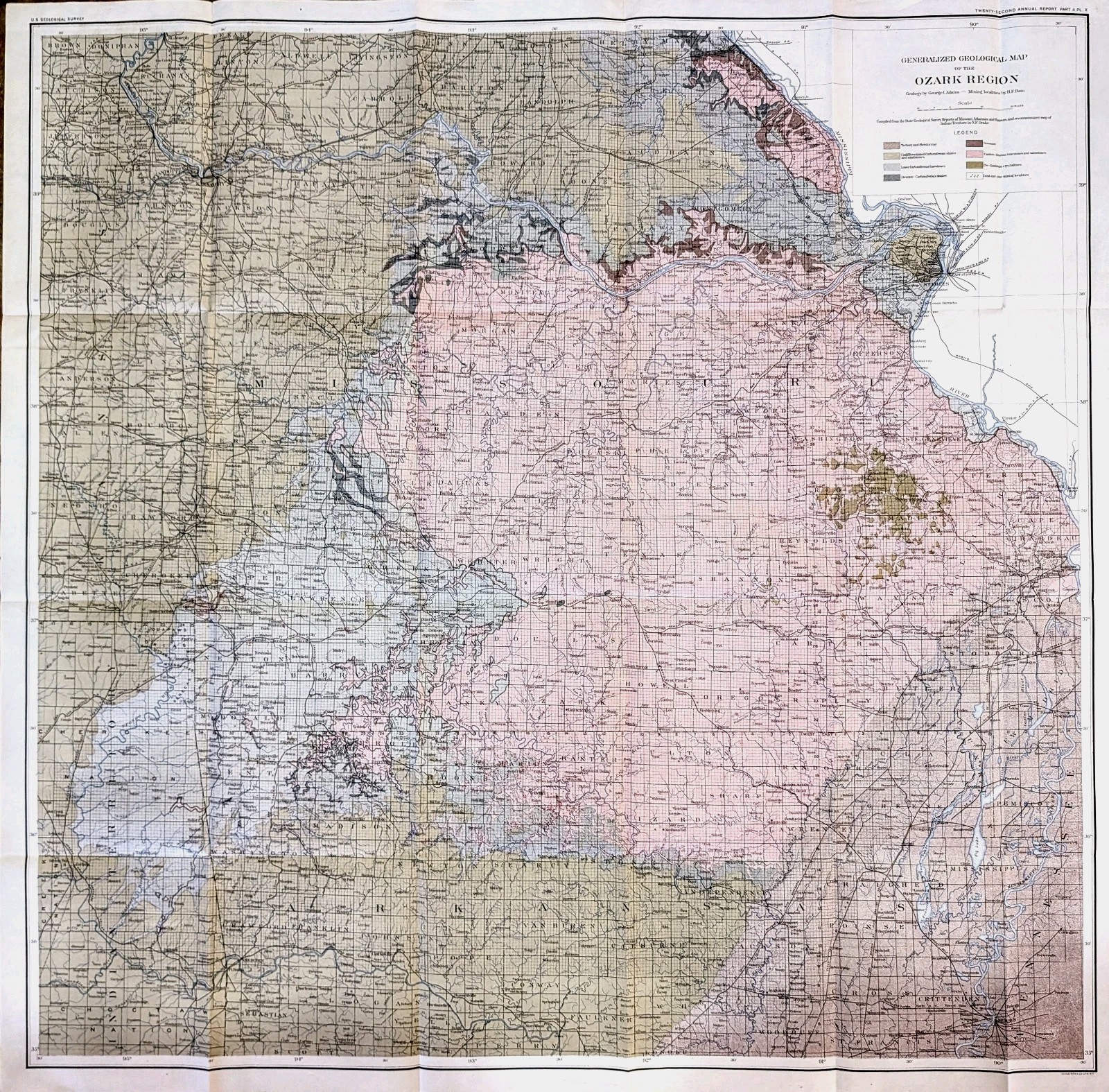
The product is a large antique 34x34 inch original geological map of the Ozark region in Missouri and Arkansas, published in 1901. Printed using lithography technique by the USGS cartographer, this antique map provides a detailed depiction of the United States of America\'s Ozark region. Also shown are townships, state line, waterways and counties. The map includes various geological features, such as topography, geology, and hydrology, making it a valuable piece for collectors and historians interested in cartography and Americana. A piece of historical significance from the early 20th century, this original map offers a unique glimpse into the geography of the United States. Good condition, creases as issued