When you click on links to various merchants on this site and make a purchase, this can result in this site earning a commission. Affiliate programs and affiliations include, but are not limited to, the eBay Partner Network.

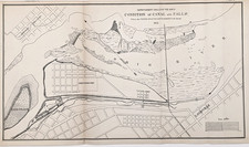
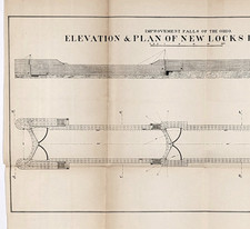
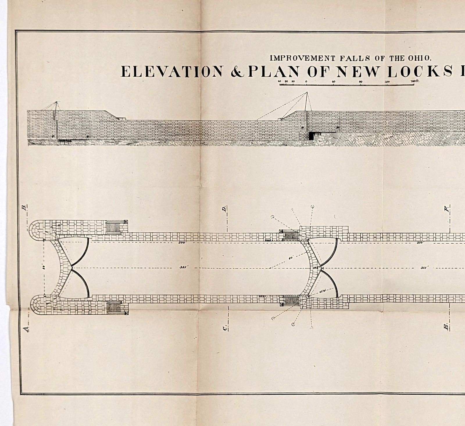
1878 Falls of the Ohio River Plan of New Locks L & P Canal - ORIGINAL antique:
$42.00
The product is an original 1878 antique map plans for the new locks and Louisville and Portland Canal on the Ohio River measuring 18x10 inches. Published by US Army Corps of Engineers, this lithographed map shows the the plans for the new locks for the Louisville and Portland Canal on the Ohio River at the Falls. Good condition, discoloration, creases as issued.