When you click on links to various merchants on this site and make a purchase, this can result in this site earning a commission. Affiliate programs and affiliations include, but are not limited to, the eBay Partner Network.
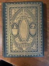
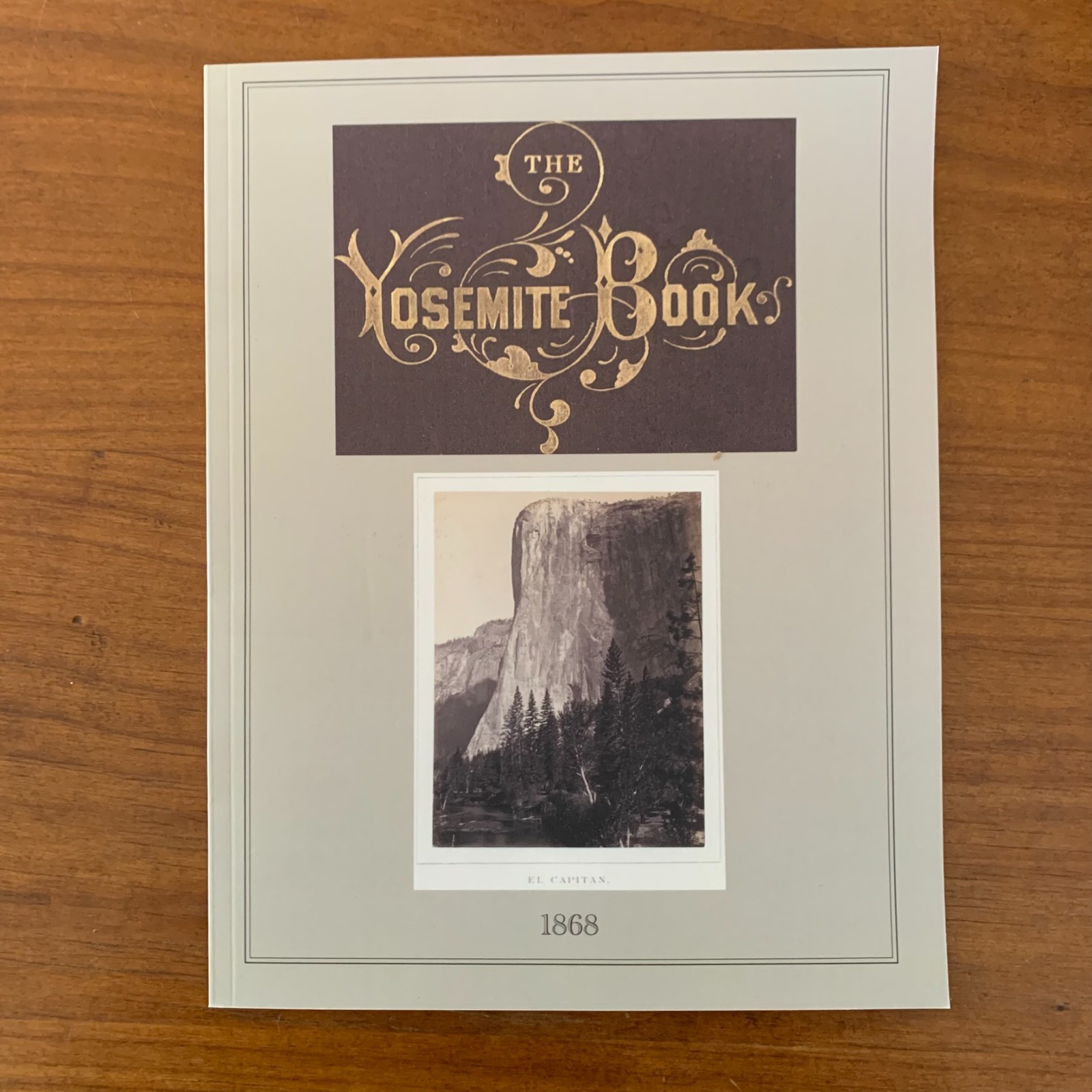
This color facsimile reproduces the photographs and maps from The Yosemite Book: A Description of the Yosemite Valley and the Adjacent Region of the Sierra Nevada, and of the Big Trees of California, by Josiah Dwight Whitney, originally published in New York in 1868 by Julius Bien for the Geological Survey of California. The Yosemite Book is one of the great rarities of nineteenth-century American publishing: issued in a deluxe limited edition of just 250 copies, it was the first book to illustrate Yosemite with actual mounted albumen photographs rather than engravings or lithographs. The 28 original photographs were taken by William Harris (W. Harris) and Carleton E. Watkins — the latter already celebrated for the mammoth-plate Yosemite views that helped persuade Congress and President Lincoln to grant Yosemite Valley to California in 1864 as the first federally protected scenic reserve, the precedent that led directly to the establishment of the national park system. Please note: this reprint contains only the photographs and maps; the descriptive text by Whitney is not included.
Summary of Contents
The reprint reproduces all 28 photographs from the original edition: The Yosemite Valley from the Mariposa Trail; The Bridal Veil Fall; El Capitan; El Capitan and Cathedral Rock looking down the Valley; near and full views of Cathedral Rock; Cathedral Rock and Spires; The Cathedral Spires; The Three Brothers; Sentinel Rock; The Yosemite Falls (full view and from Sentinel Dome); The North Dome, Royal Arches, and Washington Column; The North Dome alone; The Half Dome; a view up the Cañon of the Illilouette; The Vernal Fall; The Nevada Fall and the Cap of Liberty; a near view of The Nevada Fall; three panoramic views from Sentinel Dome; a view toward the Nevada and Merced Falls from Glacier Point; The Grizzly Giant in the Mariposa Grove and a detail of its base; the summit of Mount Hoffmann; Lake Tenaya; Cathedral Peak from Soda Springs; and the Valley of Mount Lyell on the upper Tuolumne. The volume also includes the original maps of Yosemite Valley and the surrounding Sierra Nevada region.
An essential reference for historians of American photography and the early Western survey expeditions, Yosemite and National Park Service researchers, collectors of nineteenth-century landscape imagery, and anyone interested in the visual record that helped birth the American conservation movement.
Satisfaction guaranteed or you can send it back!



![1868, The Irish in America, John Francis Maguire, [Rare] picture](/store/img/g/HS4AAeSwbtlqOpWl/s-l225/1868-The-Irish-in-America-John-Francis-Maguire-Rar.jpg)