When you click on links to various merchants on this site and make a purchase, this can result in this site earning a commission. Affiliate programs and affiliations include, but are not limited to, the eBay Partner Network.
Lake Erie Maps & Prints
AnAuthentic Antique Map: Not a Modern Reproduction
We Gladly Combine Multiple Purchases to Save Shipping
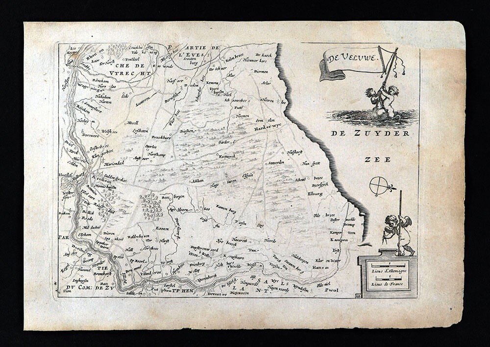
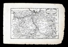
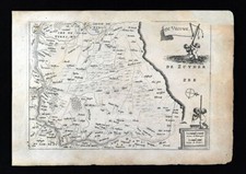
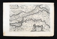
Description:It is an authentic antique map approximately 327 years old, not a modern reproduction. It is an original map from Jacob Colom\'sTheatrum Belgii Foederati Quinquaginta tabulis geographicis exhibens XVII Provinceias Belgicas, published in Rotterdam, by Petri Vander Slaart, 1696, acopy of the title page isincluded, see the pics. It is not mounted, matted nor framed, being sold as a single sheet as seen in the main pic. Overall, a nice small size 17th century antique map, printed on cotton rag paper typical of the period, that would frame up nicely with an antique appearance.
Size:The map image area, between the neat lines, measures approximately 6 by 9 inches (15x22cm) on a 71/2 by11 1/2\" page (19x25cm) page as seen in the pic
Condition: Fair toGood with some browning, a soft diagonal crease not very noticeable. We made an archival repair of missing paper on the upper right corner, which is reversable. Otherwise the paper is very strong and flexible, see the pics for more on condition.
International Customs and VAT Fees:It is the responsibility of the buyer to pay all Customs Taxes, VAT or other fees that may be due upon arrival. These fees vary greatly from country to country and policy is that the buyer is responsible for their country\'s taxes and fees. Please consult your country\'s Customs Regulations for more details on your country: printed matter is often duty free in many countries.
Satisfaction Guaranteed:We stand fully behind our products and offer a full refund minus shipping with no questions asked. If condition is different than described we offer a full refund including shipping fees.