When you click on links to various merchants on this site and make a purchase, this can result in this site earning a commission. Affiliate programs and affiliations include, but are not limited to, the eBay Partner Network.
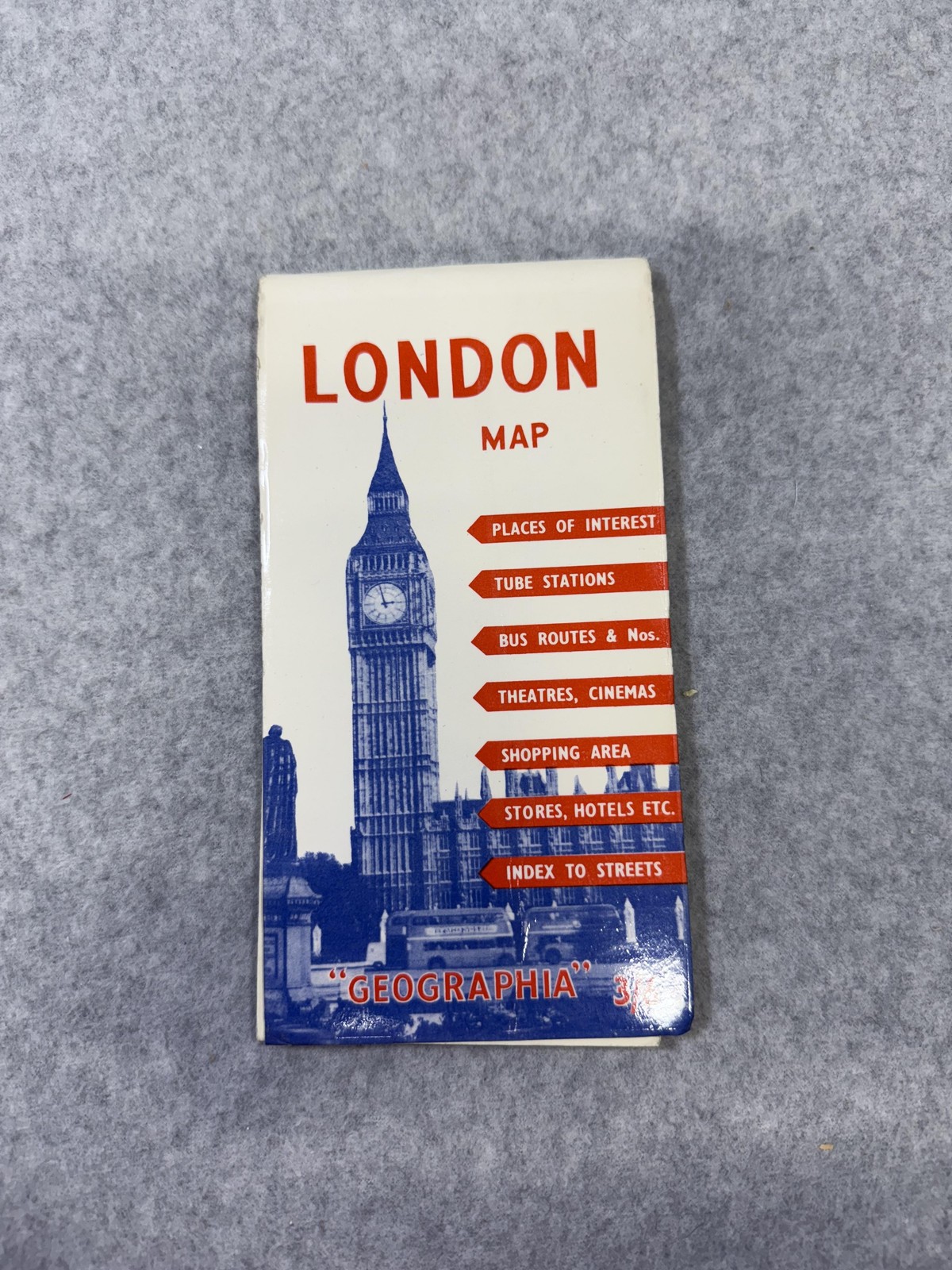
Item: Lot of 2 vintage folded paper maps including a London city street map and a Princeton, New Jersey city and campus map.
London map: Pocket-size \"LONDON MAP\" published by \"GEOGRAPHIA\" LTD, 114 Fleet Street, London, E.C.4. Color fold-out street map with places of interest, tube stations, bus routes and numbers, theatres and cinemas, shopping areas, stores and hotels, and an index to streets. Features a detailed city plan, inset London Transport Underground System diagram, and extensive alphabetical street and attraction index panels. Illustrated cover shows Big Ben and buses with price noted as 3/6 and promotional comments from a London policeman, a London taxi driver, and an American visitor printed on the back.
Princeton map: Official \"Arrow Map of Princeton, N.J. and Vicinity\" published by R.L. Polk & Co., New Jersey, copyright 1956 by R.L. Polk & Co. and Cook Survey Co. Large fold-out one-color street and road map with red grid overlay, showing the town of Princeton, surrounding roads, and waterways. Reverse side includes a detailed \"Princeton University Campus\" map with numbered building key listing academic halls, dormitories, athletic facilities, and other campus structures.
Materials and format: Both are printed on paper with blue and red ink (London map also includes multicolor printing), designed as portable travel and street-reference maps for tourists and visitors.
Special notes: No ISBN, UPC, or EAN numbers are present on either map.