When you click on links to various merchants on this site and make a purchase, this can result in this site earning a commission. Affiliate programs and affiliations include, but are not limited to, the eBay Partner Network.
Brand / Publisher: National Geographic Society / National Geographic Magazine.
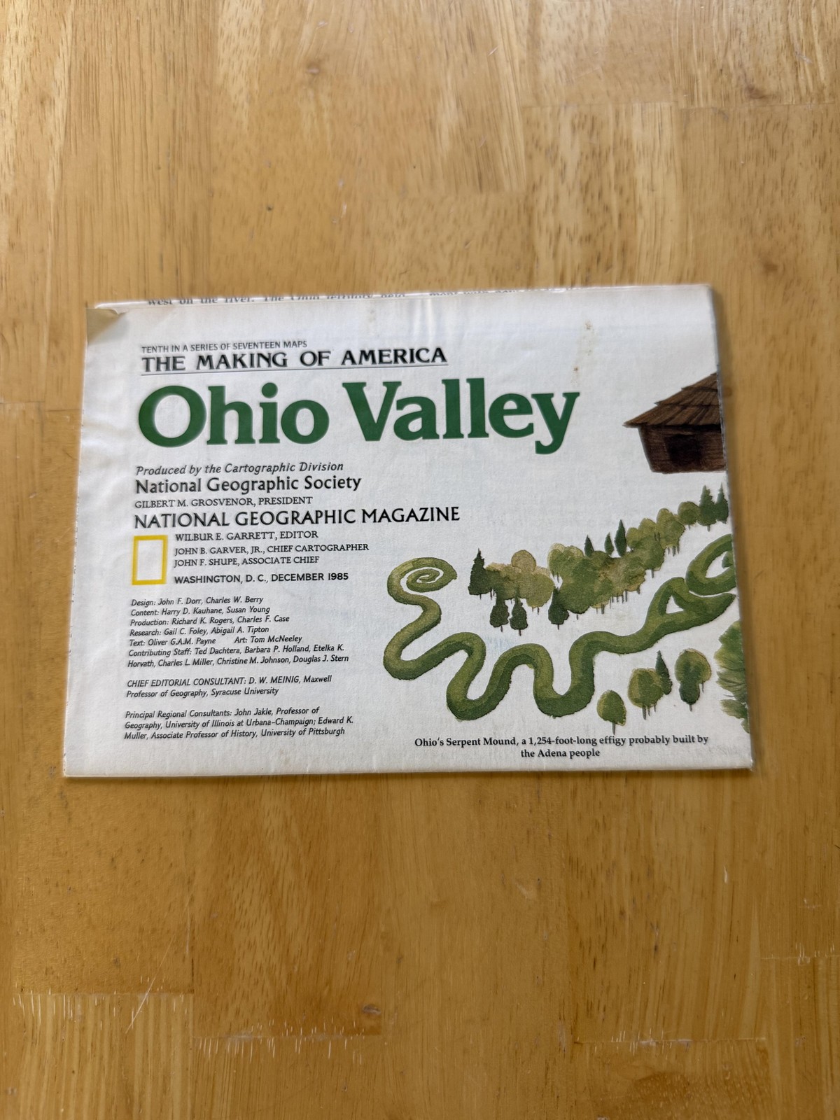
Item: Vintage 1985 \"The Making of America: Ohio Valley\" folding travel and history map issued as a National Geographic Magazine supplement, tenth in a series of seventeen Making of America maps.
Country of origin: United States.
Format: Large double-sided color paper sheet folding to magazine size; primary map side titled Ohio Valley shows a shaded-relief regional map stretching from Illinois, Indiana, and Ohio through Kentucky, Tennessee, Alabama, and Mississippi to Georgia and the Carolinas, with highways, rivers, cities, and extensive historical notes printed across the map.
Reverse side presents an illustrated \"The Making of America: Ohio Valley\" treatment combining narrative text, artwork, timelines, and multiple inset maps covering key eras such as Indians and Europeans, Speculation and Colonization, Transport Revolutions, Region Rent Asunder, Further Divergence, and A New Era.
Additional details: Copyright 1985 National Geographic Society, Washington, D.C.; suitable for display, teaching, or addition to a collection of Ohio Valley, Appalachian, and American history cartography or National Geographic ephemera.