When you click on links to various merchants on this site and make a purchase, this can result in this site earning a commission. Affiliate programs and affiliations include, but are not limited to, the eBay Partner Network.
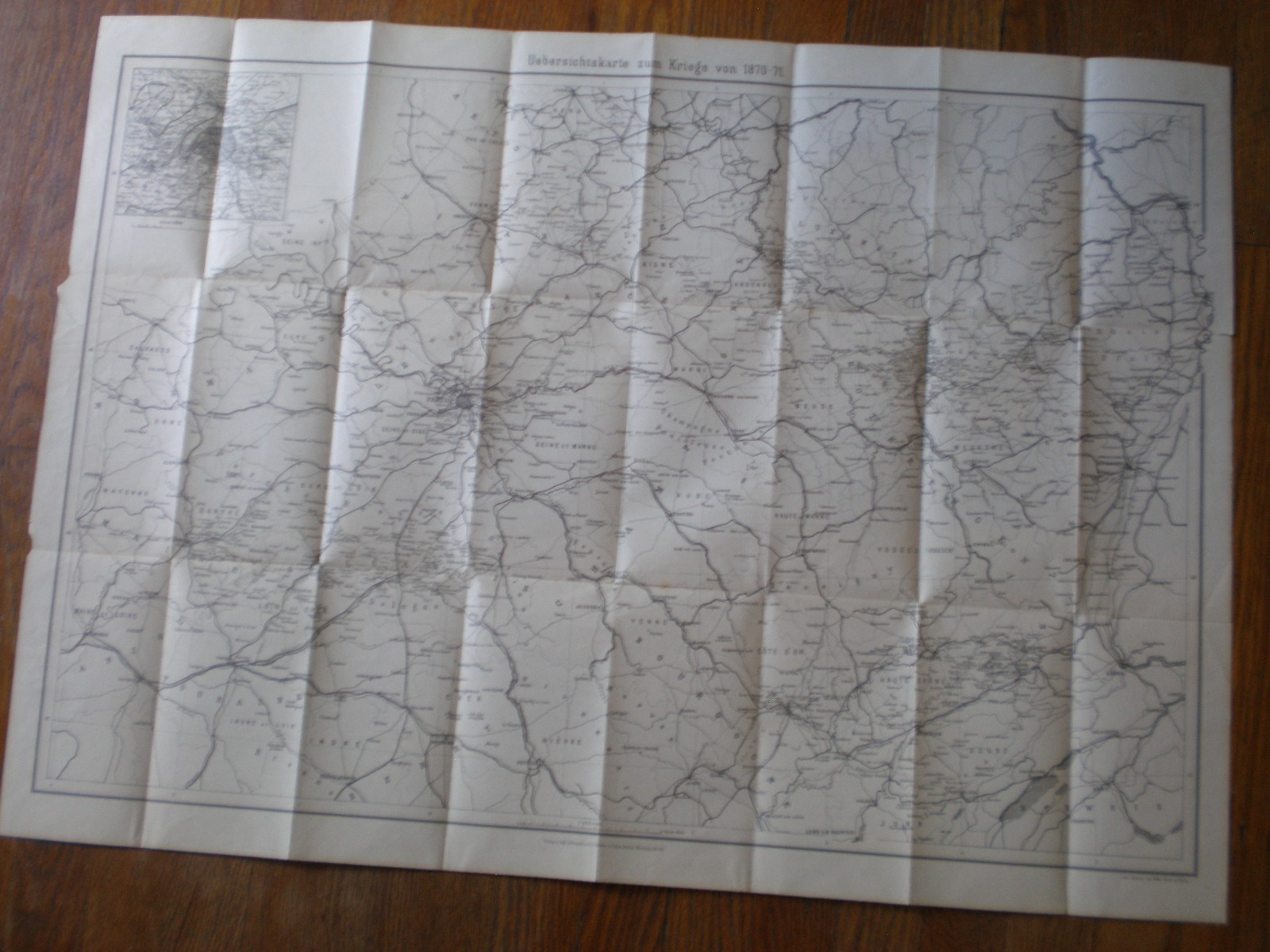
Germany: Ca. 1871 Map of France & Locations of the Franco-Prussian War 1870-1871. Large map, ca. 25" x 22", produced and printed in Germany, covering from Bayeux, France to Mannheim, west to east, and from Lille, France, to Chateauroux, France, north to south. The map covers all locations where battles were fought during the Franco-Prussian War. It was probably sold commercially to interested members of the German public after the war. The map is in generally good condition with no stains; it has deep creases, probably as a result of being folded for well over a hundred years. There is a ca. 1 1/2 inch tear on the left margin, and a couple of chips. Authenticity guaranteed; 14-day return privilege (30 daysoverseas), excluding postage, provided item is returned in same condition whensold. Item will be shipped USPS First Class Mail; will combine postage formultiple purchases.