When you click on links to various merchants on this site and make a purchase, this can result in this site earning a commission. Affiliate programs and affiliations include, but are not limited to, the eBay Partner Network.

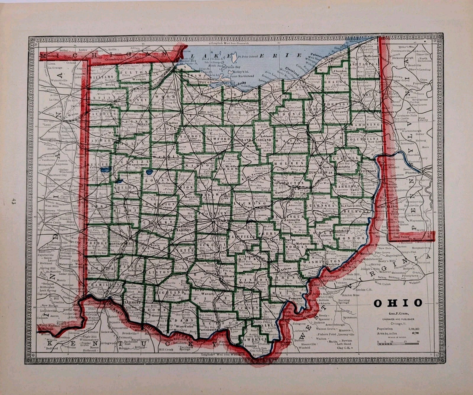
1883 OHIO Map ORIGINAL 12x9 Hand-colored Antique Clevland Cincinnati Columbus :
$28.00
The product is an original antique 1883 state map of Ohio by cartographer George Cram. This lithographed map, measuring 12x9 inches, depicts counties, townships, county seats, railroad routes and waterways. Map is very detailed and beautifully hand-colored. Map was removed from George Cram\'s Unrivaled Atlas of the World. Good Condition, map on reverse, discoloration